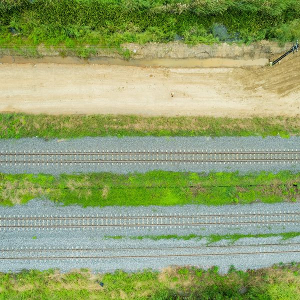
The Importance of Aerial Data in Infrastructure Inspections

Reliable infrastructure is the backbone of modern society. From bridges and pipelines to power lines and railways, ensuring the safety and longevity of these assets is critical—yet traditional inspections can be risky, time-consuming, and sometimes miss subtle issues.

How SKYHAUL Can Help
Transform your infrastructure inspections with our advanced aerial data solutions:
- LiDAR Inspections:
Generate detailed 3D models to precisely assess structural integrity. Our LiDAR data pinpoints potential weaknesses before they escalate into serious issues.
- Photogrammetry:
Create accurate, up-to-date maps and 3D models of your assets. This service is essential for monitoring wear, scheduling maintenance, and documenting repairs.
- Thermal Inspections:
Identify hidden defects by detecting temperature variations that may signal electrical faults or insulation problems. Early detection means prompt repairs, reducing future risks.
Partner with SKYHAUL to enhance the safety, reliability, and durability of your critical infrastructure.

Infrastructure Inspections Data Set Example
Gain actionable insights with our comprehensive data sets, designed to support informed maintenance decisions:
- Structural 3D Model:
A precise digital reconstruction capturing all critical components.
- Crack & Deformation Analysis:
Detailed measurements of cracks, deformations, and other structural issues.
- Corrosion & Wear Detection:
Identification of corrosion areas and material degradation that could compromise asset integrity.
- Thermal Inspection Data:
High-resolution thermal imagery that highlights potential electrical faults and insulation failures.
This robust data set empowers infrastructure managers to assess asset integrity, plan maintenance effectively, and prevent potential failures.
The Importance of Aerial Data in Mining

Precision and safety are essential in the mining industry. Accurately mapping the terrain, monitoring ongoing operations, and assessing resources ensure efficient and profitable extraction. Traditional surveys can be slow, leading to delays and increased risks.

How SKYHAUL Can Help
Transform your mining operations with our advanced aerial data solutions:
- LiDAR Technology:
Generate high-resolution 3D models of mining sites that map terrain and locate ore deposits with pinpoint accuracy. Benefit from precise volumetric analysis to optimize resource extraction and reduce waste.
- Photogrammetry:
Create detailed orthomosaic maps and digital surface models essential for planning and monitoring. This technology allows for continuous tracking of site changes, ensuring compliance with environmental standards and bolstering safety protocols.
- Thermal Inspections:
Detect heat anomalies that could signal equipment malfunctions or emerging hazards. Early identification enables timely maintenance, minimizing downtime and preventing costly disruptions.
Partner with SKYHAUL to elevate the efficiency, safety, and profitability of your mining operations.

Mining Industry Data Set Example
Unlock actionable insights with our comprehensive data set, designed to enhance decision-making:
- High-Resolution 3D Terrain Model:
A detailed digital representation of your mining site—including elevations and contours.
- Ore Deposit Mapping:
Accurate identification and mapping of mineral deposits within the terrain model.
- Volumetric Analysis:
Calculations for overburden removal and ore extraction volumes that drive efficient resource management.
- Change Detection Over Time:
Comparative analysis between current and previous models to monitor excavation progress and adapt strategies.
This robust data set empowers mining companies to optimize extraction activities, manage resources effectively, and stay ahead by monitoring site changes over time.
Copyright © 2025 SKYHAUL Aerial Data Acquisition Group - All Rights Reserved.